Covid-19 increased necessity for geospatial, mapping needs in logistics
March 16, 2021: Headquartered in Singapore and with offices in Hyderabad and Bangalore, the artificial intelligence-based Indian startup Nextbillionai provides easy to use cost-effective and advanced hyperlocal solutions to industry verticals like logistics, e-commerce, micro-mobility, mobility, ride-hailing and food delivery.
 Ajay Bulusu, co-founder of Nextbillionai

March 16, 2021: Headquartered in Singapore and with offices in Hyderabad and Bangalore, the artificial intelligence-based Indian startup Nextbillionai provides easy to use, cost-effective and advanced hyperlocal solutions to industry verticals like logistics, e-commerce, micro-mobility, mobility, ride-hailing and food delivery. The company is working in 11 countries and will be expanding to the United States this year.
Ajay Bulusu, co-founder of Nextbillionai talks to Indian Transport and Logistics News in an exclusive interview about challenges in making logistics efficient, hyperlocal solutions they provide, expansion plans and policy changes.
You had exposure to many technology companies throughout your career and technology can offer solutions in many areas. So what made you focus on logistics and supply chain?
We were solving some of these issues day in day out in our prior lives for the last couple of years. We wanted to get into a field where we knew how to solve the problem end to end. And that was mapping. Especially for enterprises, this seemed a pretty large enough problem that nobody was addressing.
If you look at the market as a macro, most of the mapping tech was built for navigation. But last 10 years and particularly when Uber started, the need for B2C location applications has skyrocketed.
But what has happened is that since there were billions of customers and just millions of enterprises, nobody really concentrated on enterprise needs at all. So that is where we came up with the idea that enterprises require a lot more sophisticated, a lot more efficient, a lot more customizable, modular applications of maps.
"We make sure that we put all of this into a very easy API for the people to consume so all the hard-working and heavy lifting is done by us on the back end."
Can you give me an idea about what you mean by the hyperlocal AI solutions?
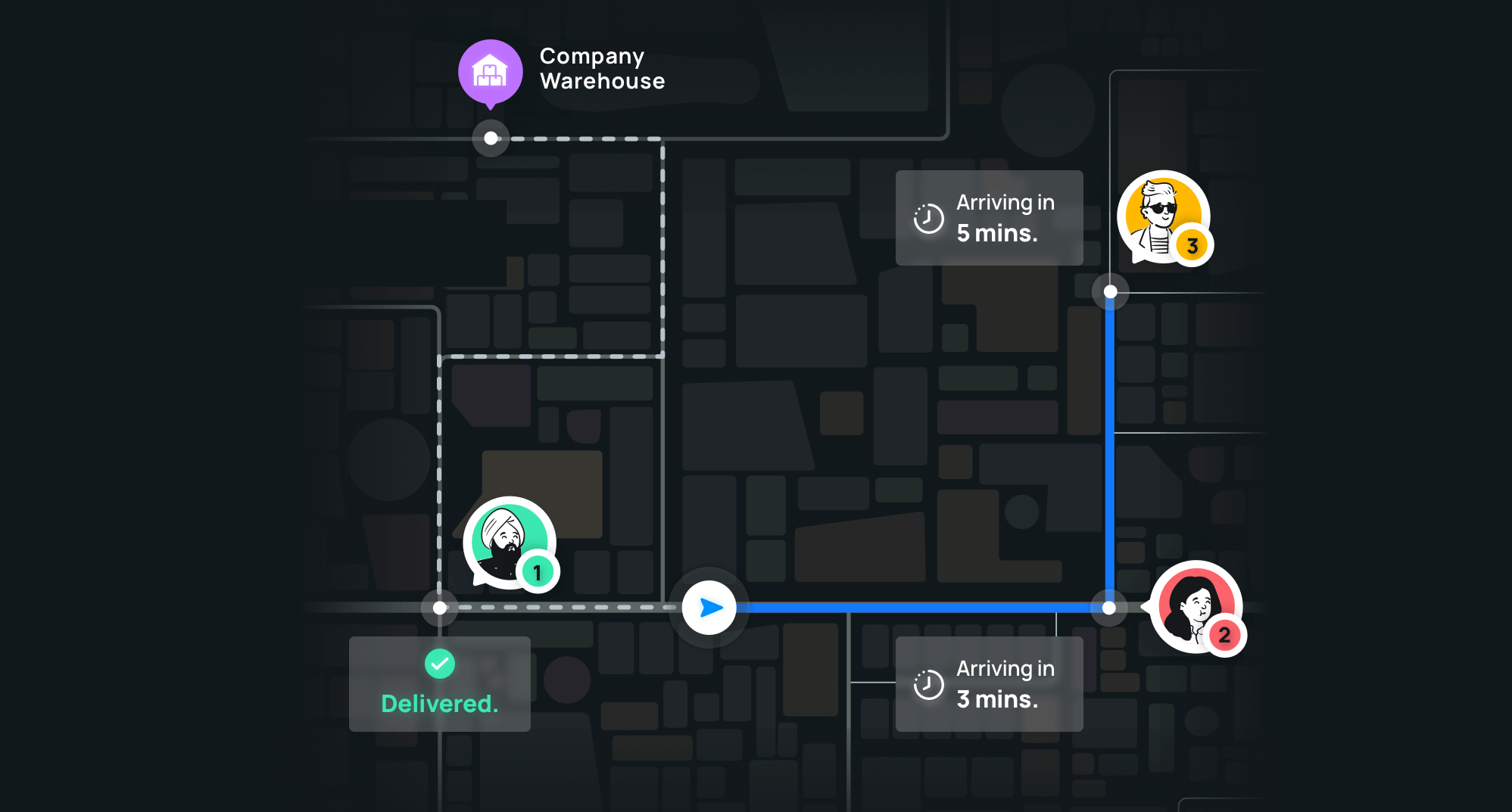
Food is delivered in many ways in many countries. It is delivered in cars in the US, by bikes in Jakarta, and by cycle or even walkers in Singapore. All of these guys take many different routes, many different times, many different aspects are involved in the collection versus delivery. This can only be addressed by building something specific to that city, in fact, not even the country. It's because everywhere movement is different.
I’ll take a footpath and go deliver the food in 10 minutes instead of a long U-turn, taking a car, parking it somewhere then going up. But if you're in the United States, that cadence is mandatory. You need to only drive a car, you need to go up to a garage, park it, pick it up, and then go. So the ETAs and the time taken for this is totally different. Those hyperlocal nuances in every little small city in the world are different. So how do you model these local scenarios and give accurate estimations? It has complete bottom-line efficiency because, at a certain scale, even 1 percent of getting accurate times will lead to 100 percent in efficiency.
Can you give me an introduction to your solutions and the specific challenges that you are trying to solve in the logistics industry?
Logistics, as an industry, is predominantly movement; it can be goods, people or anything. We are enabling that movement more efficiently.
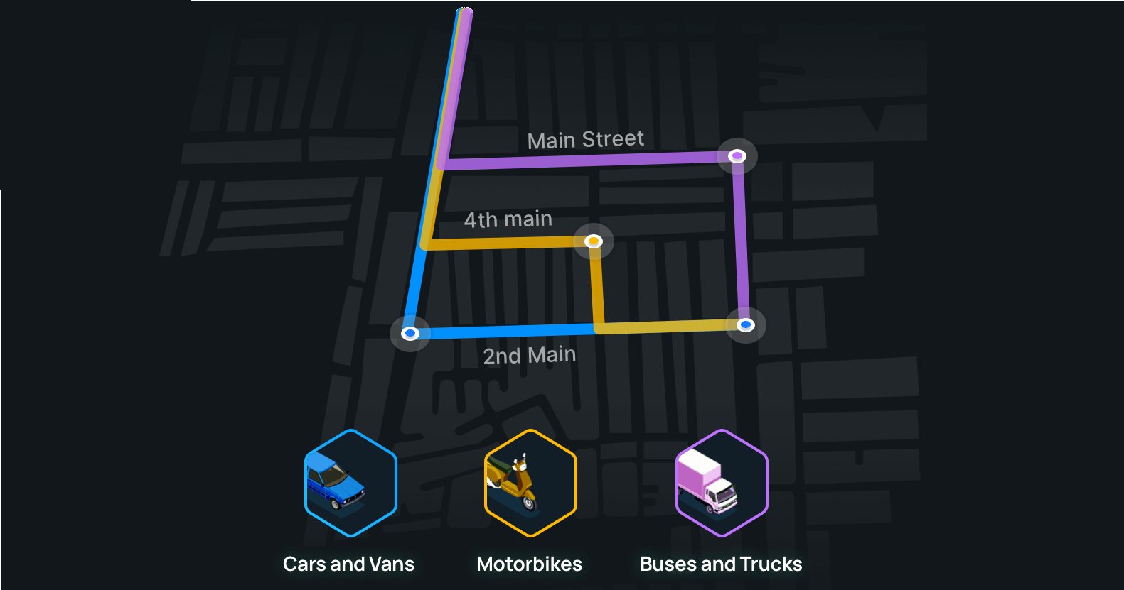
When you take a truck full of cement from West Bengal to Mumbai, as of today, if you go to any commercial mapping provider and check how long it will take, they will say 39 hours. But in reality, it takes close to 90 plus hours because the driver needs to rest, sleep, eat. Also, make sure that at times the speed profile of trucks is completely different from a car. The weight of the truck makes a difference.
So when you take off all of these nuances into your AI models, the accuracy of your time estimation has a network effect. Because if you know your truck is actually coming in three days, not one day, you can plan your inbound logistics. Similarly, outbound can be also planned. This overall has an optimization effect on the whole logistics sector in itself because logistics are just not trucks, you're trying to move cars, goods, everything. And every one of these things has a very specific way to model a very specific nuance. That is what we are trying to solve.
So tell me about how you solve these problems or how intelligent your solutions are?
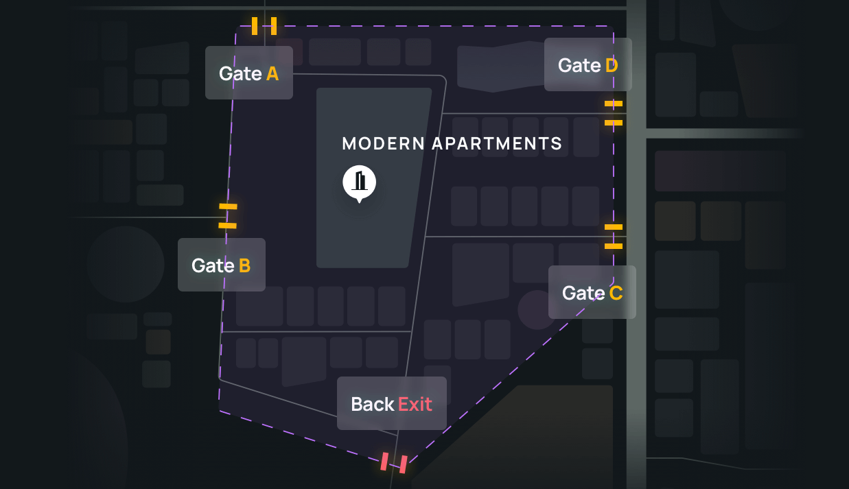
Our core product on the mapping side takes historical data from any of our customers where they have done some of this work. It can be either from a GPS device that they have on their truck, or it can be from just their mobile phones. From historical location data, we come up with intelligence. We come up with almost 16 to 18 attributes for a specific segment including the type of road, type of route, is it one way or two way? Were there any turn restrictions? Were there any route deviations? How many lanes was the road? Then we model that based on the patterns that that business has followed.
Another example of hyperlocal nuances, the way your drivers drive is going to be usually different from the way anybody else's drivers. We model driver behaviour historically. Then we make sure that we put all of this into a very easy API for the people to consume so all the hard-working and heavy lifting is done by us on the back end. And we give a very, very simple API for our customers to use to calculate their own business metrics.
Covid-19 has just increased the necessity for geospatial and mapping needs because people don't take maps for granted anymore.
The company was founded in February last year. So tell me about how you started and how has Covid-19 affected you?
We, the founders, (Gaurav Bubna, Shaolin Zheng and Ajay Bulusu), were solving some of these problems live in person. While we were solving these problems, many other companies came to us. Suddenly there was a market need. And we thought why not try and do this for global enterprises with some of our learning. And that is how the company started. But as soon as we kicked off, the pandemic hit. So we had to pivot almost immediately to a remote company, where we had our office spaces in a couple of countries, we hired people already. We had to very quickly pivot to remote sales, build collateral, make people understand, set up a cadence of how to do pilots ensure their data is secure.
We've done pretty well in the last one year because the need for deliveries and need for things to move and needs for more tech-enabled solutions have only increased. We're expanding our footprint in the United States this year.
Covid-19 has just increased the necessity for geospatial and mapping needs because people don't take maps for granted anymore. Everybody is slowly waking up to the fact that if my bike or my car is seized because we are in a wrong turn, it's a big deal, we need to focus on profitability and not growth.
Tell us how you collect all this data? Isn’t that time-consuming?
We essentially take open data. Use it or augment it with consumer data, then on top of it, we build a solution. That's why we are more accurate, we are more cost-effective.
Tell me about your clients. Who are your clients, which are the companies that you're the segments that you are looking into is that e-commerce companies?
We are working on a few key sectors, logistics, e-commerce, micro-mobility, mobility, ride-hailing and food delivery. Eventually, our goal is to enable anything that moves. So we started with these four or five core verticals because we knew how to solve problems for these core verticals. Slowly, we're moving up the chain now to solve more complicated problems in these verticals also.
Globally, mapping talent is all in Hyderabad and it is the global mapping hub.
Tell us about the geography that you're focusing on?
We have a global focus. We are already working in 11 countries now and on almost all continents except Latin America. As a company, we are global in nature. We build our tech in India and Southeast Asia, but we sell globally.
In India, do you have any specific focus because your offices in Hyderabad and Bangalore, is there any particular focus on those cities?
Globally, mapping talent is all in Hyderabad and it is the global mapping hub. Because most of the large companies like Google, Amazon, Uber, Facebook all have their mapping stuff happening in Hyderabad.
We look at India as one country, anywhere in India, we can do, for example, we worked in some work at Mysore. We also did a bunch of work in Bangalore, we did a lot of work in NCR so that way, we are very agnostic. So our technology is nimble enough to take it to any city anywhere in the world.
How well funded the company is right now. And are you looking for funding right now?
We're currently not looking for funding. Probably in the middle or by the end of this year is when we were thinking of raising. We have certain targets in the revenue as well as the scale that we need to meet for us to make it a meaningful fundraise the next time. We are in touch with really good funds and keep them updated on our progress.
Can you make me understand where your company is positioned in this market and compared to your competitors?
So we currently only have one large global competitor who's the global mapmaker. We are a mapping company, essentially. We are a mapping ecosystem. We are the infrastructure layer, you can think of us like AWS as your cloud. We are helping companies get their own map stack. Maps are built for consumers, not for enterprises. For the first time, some companies are focusing purely on enterprise maps. So that way, we are acting category leaders in this one.
How do you evaluate the recent announcement of deregulation of geospatial data by the Indian government?
As India liberalises geospatial data policies in a historic move, we are thrilled to see mapping made accessible and simple for every Indian. As a global player in hyperlocal mapping solutions for enterprises, Nextbillion.ai welcomes this move and is looking forward to creating ground-breaking bespoke solutions for addressing India’s last-mile challenges.
Keeping in mind the linguistic and geographical hurdles that Indian companies face in serving their customer base, this policy reform will herald in seamless connectivity and inclusion while furthering self-reliance and ensuring secure data storage. The move to make all geospatial data produced using public funds, except classified geospatial data accessible for scientific, economic and developmental purposes to all Indian Entities without any restrictions is a welcome move by the Government. This will aid in accelerated private-public collaborations and work towards open-linked geospatial data platforms. We are confident that this unprecedented move would turn a new chapter for individuals, communities, companies and organisations involved with mapping in India.”
